library("topo.ridges")
library(ggplot2)Overview
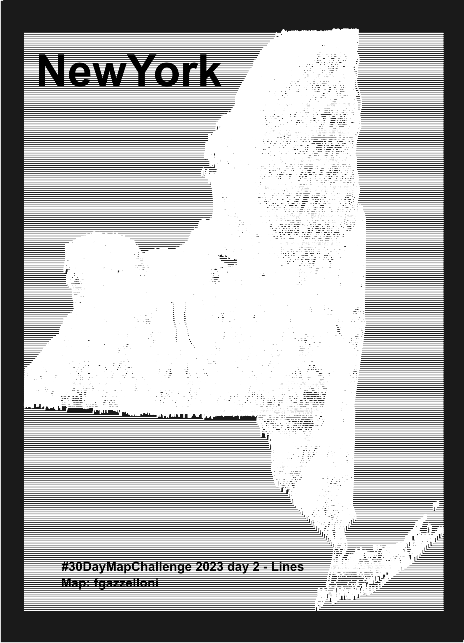
This NewYork map data is from the USDA NRCS Geospatial Data Gateway. Made with {topo.ridges} package.
Read in data
raster::raster()Package used is {topo.ridges} source: https://github.com/nstauffer/topo.ridges Data are from https://datagateway.nrcs.usda.gov/
1- Land Use Land Cover: Cropland Data Layer by State
elev_raster2 <- raster::raster("data/cdl_30m_r_ny_2022_utm18.tif")raster::plot(elev_raster2)elev_raster_lowres2 <- raster::aggregate(elev_raster2,
fact = 2)
# saveRDS(elev_raster_lowres2,"data/elev_raster_lowres2.rds")map <- topo.ridges::ridgemap(elev_data = elev_raster2,
line_color = "white",
background_color = "gray10",
line_count = 300,
y_scalar = 75,
scale_factor = 1.25,
line_weight = 0.5,
min_height = 0)ggsave(filename = "day2_lines.png")